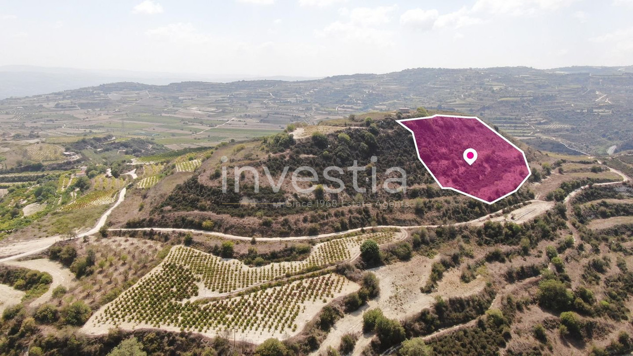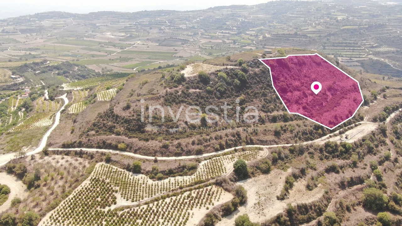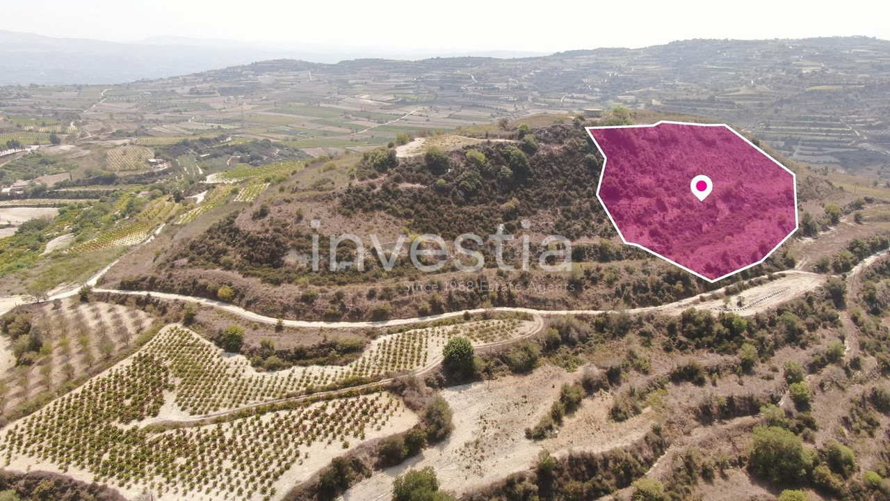
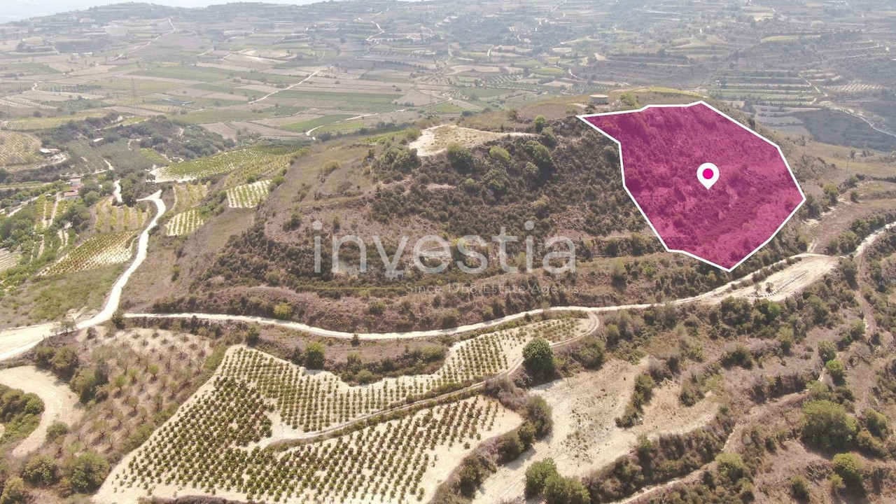
Agricultural field, extending to about 4,014sq.m. in total, located in the village of Stroumbi, in the district of Paphos. The field has a regular shape, partly smooth sloping surface and partly sloping surface. It adjoins a registered public road in its eastern part and is located approximately one kilometer south of the church in the community square, at a distance of approximately 220 meters southeast of the community gas station and at a distance of approximately 590 meters southwest of the S.O.D.AP factory. The property falls within Planning Zone Γ3 (Agricultural zone), with a building and coverage factor of 10% and permission for 2 floors (8.30m) of construction. GPS coordinates: 34.874518 32.484161
| Zone | Cover factor | Build factor | Max floors | Max height | Affected % |
|---|---|---|---|---|---|
| Γ3 | 10% | 10% | 2 | 8.3 m | 100% |
The information provided for this property is based on details supplied by the owner or developer and is subject to verification. Prices, availability, dimensions, and specifications may change without prior notice. Investia Real Estate Agents shall not be held liable for any inaccuracies or omissions. Prospective buyers are advised to conduct their own due diligence prior to any transaction.